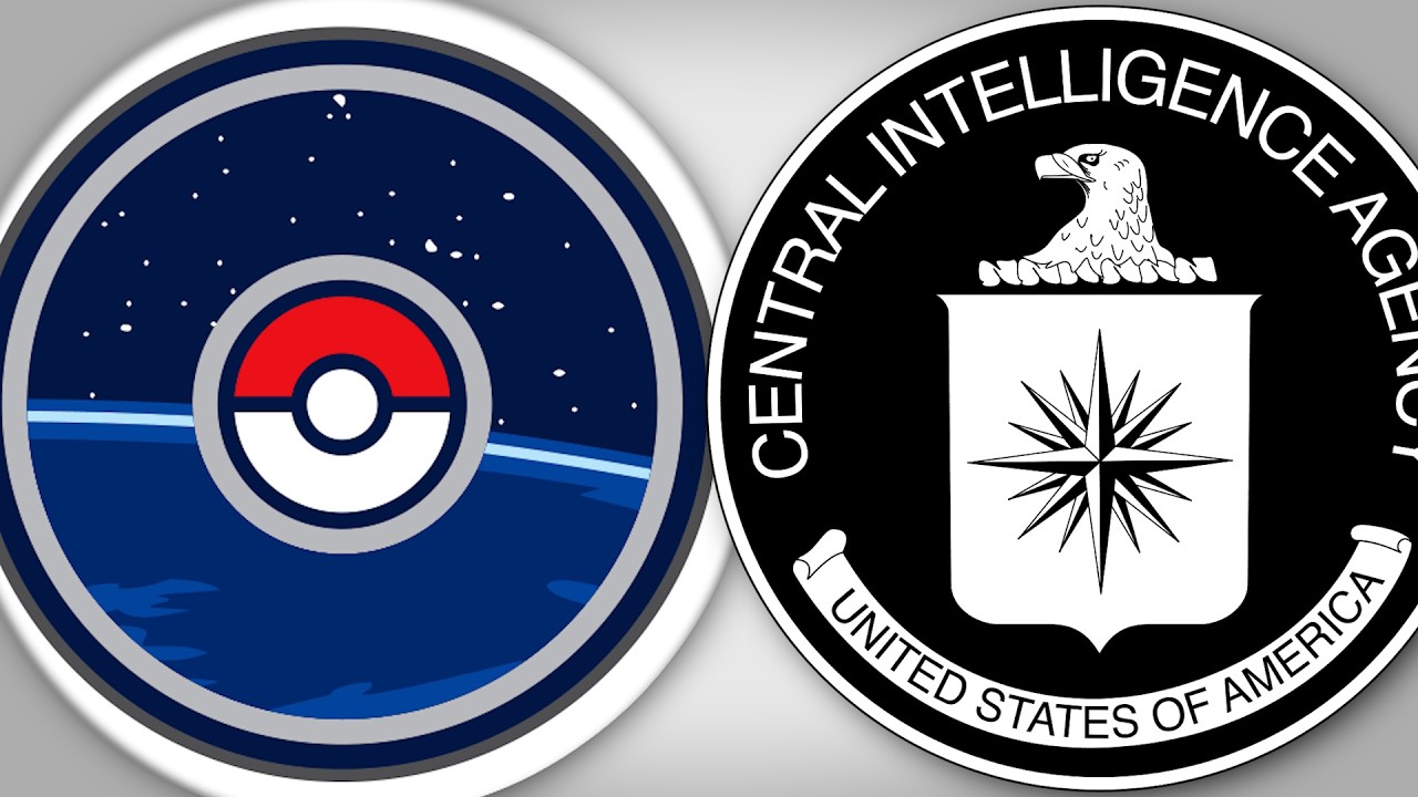
The video explores the conspiracy theories surrounding Pokémon GO, suggesting it might be used as a tool for spying and collecting personal data. It begins by highlighting how the game, launched in 2016, engaged millions worldwide through augmented reality, but also raised concerns from governments, like Bosnia, warning players not to enter dangerous areas. Some officials, such as Egypt’s defense minister, claimed the game was used by spy agencies to infiltrate communities, which the game’s developers have denied, emphasizing their commitment to user privacy and lawful use.
A key part of the conspiracy involves neonic Labs, the company behind Pokémon GO and other location-based games, which has admitted to building geospatial models from the data collected through these games. This data, including photos, videos, and precise location details, is used to develop advanced 3D spatial models that can be employed in AI and military applications. The video suggests that the vast amount of data collected from hundreds of millions of users worldwide is part of a larger effort to create detailed, location-aware AI systems that could benefit intelligence agencies and military operations.
The history of mapping technologies is traced from Google Earth, which was originally developed by Keyhole, a company with CIA links, and later acquired by Google. Keyhole’s technology was used for military and media purposes, such as war zone mapping. The CIA’s investment firm, IQT, financed Keyhole, reflecting how intelligence interests have long been intertwined with civilian mapping and satellite imaging technology. This history demonstrates how military and intelligence agencies have been involved in developing and funding geospatial tools that eventually became accessible to the public through mainstream companies like Google.
The video emphasizes that many free apps, like Pokémon GO, harvest extensive personal data, which can then be used for commercial or strategic purposes. This data collection enables the creation of detailed 3D maps and AI models, potentially useful for military reconnaissance, surveillance, and deep geopolitical analysis. The presenter argues that while there is no direct proof of the CIA or other spy agencies actively using Pokémon GO for espionage, the technological capabilities and investment history suggest that such developments are highly plausible. Ultimately, the video warns viewers to be cautious about sharing personal data through free software.
In conclusion, the video presents the idea that Pokémon GO’s data collection and geospatial capabilities have far-reaching implications beyond gaming. While not outright claiming the game is a spying tool, it highlights how companies like neonic and the broader mapping industry have built powerful AI and spatial models from vast user data sets. The presenter suggests that such technology could be used by intelligence agencies and military organizations, making it essential for users to understand the potential privacy risks involved in free software that tracks locations and gathers images. The overall message encourages skepticism about the motives behind free apps and awareness of how personal data may be exploited for strategic purposes.